The Network
After the levees breeched during Hurricane Katrina, people realized the vital role levees play in flood protection. The U.S. Army Corps of Engineers and the Flood Protection Authority-East have enhanced the levees, floodwalls and floodgates surrounding the Greater New Orleans area to a standard of protection from a 100-year storm with a 1% chance of occurring in any given year.
Operation & Maintenance
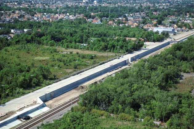
The Flood Protection Authority is responsible for maintaining 192 miles of levees and floodwalls, 3,530 acres of levee turf, and 244 land-based floodgates in East Jefferson, Orleans and St. Bernard Parishes.
Levees are composed of compacted soils formed in a linear, pyramid shape at heights to reduce the risk of flooding from storm surge and the Mississippi River.
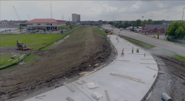
Floodwalls are made of concrete and located at points along the levees to prevent erosion or where there is insufficient space for the wide slope of a levee. Floodwalls are referred to by their shapes such as T-walls that provide extra stability where conditions warrant, and I-walls that require less fortification.
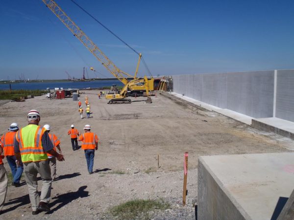
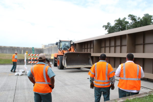
Floodgates are needed where levees or concrete walls cross a road or railroad or where they intersect waterways. They remain open for car, train and boat traffic but are closed during a storm event.
